")
")
3 D visualisation of the Chu basin

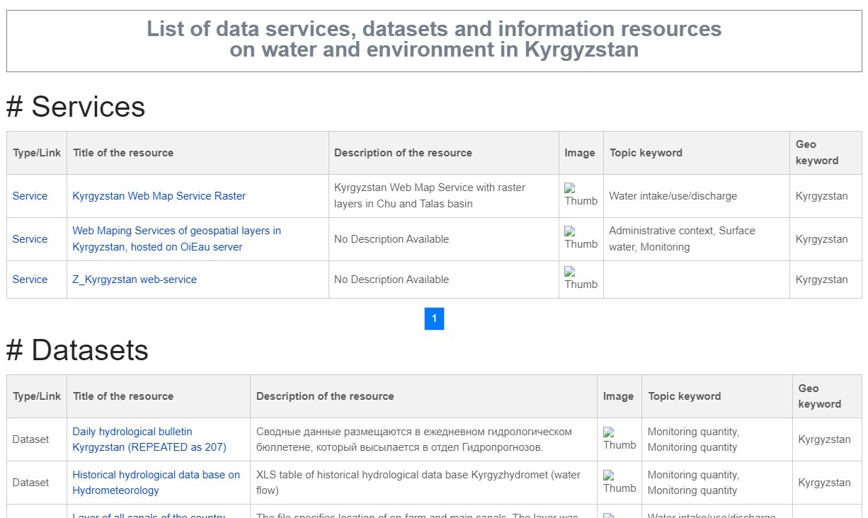
Catalogues of data resource for the Chu basin
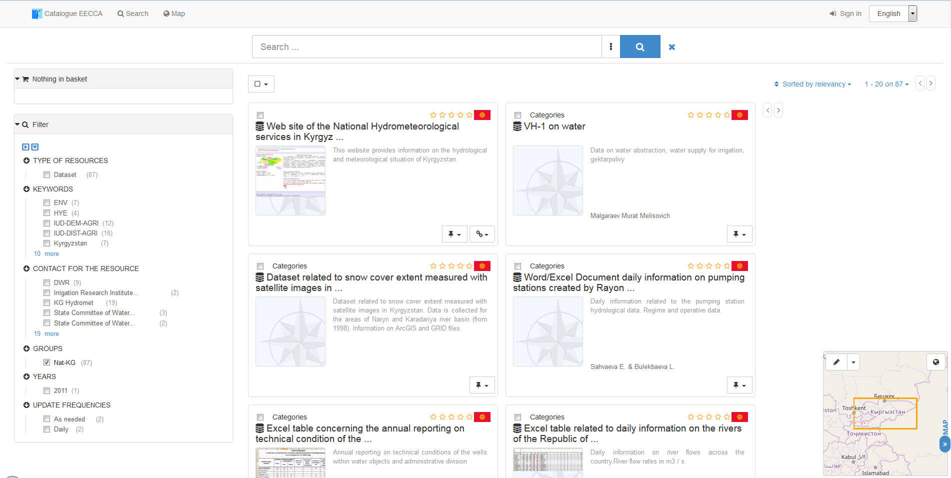
List of Datasets & data resources for the Chu basin


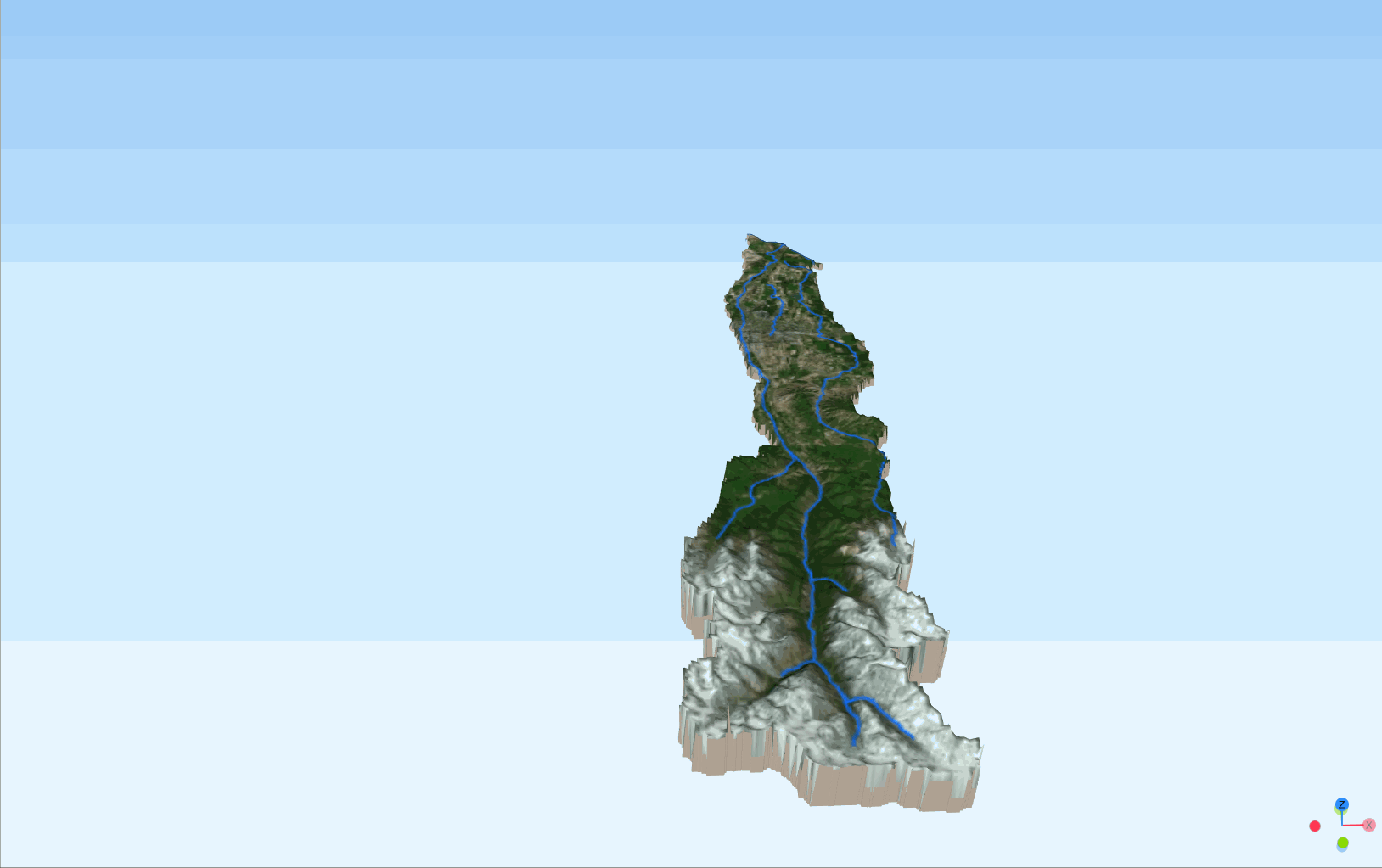
3D visualisation of Alamadin subbassin
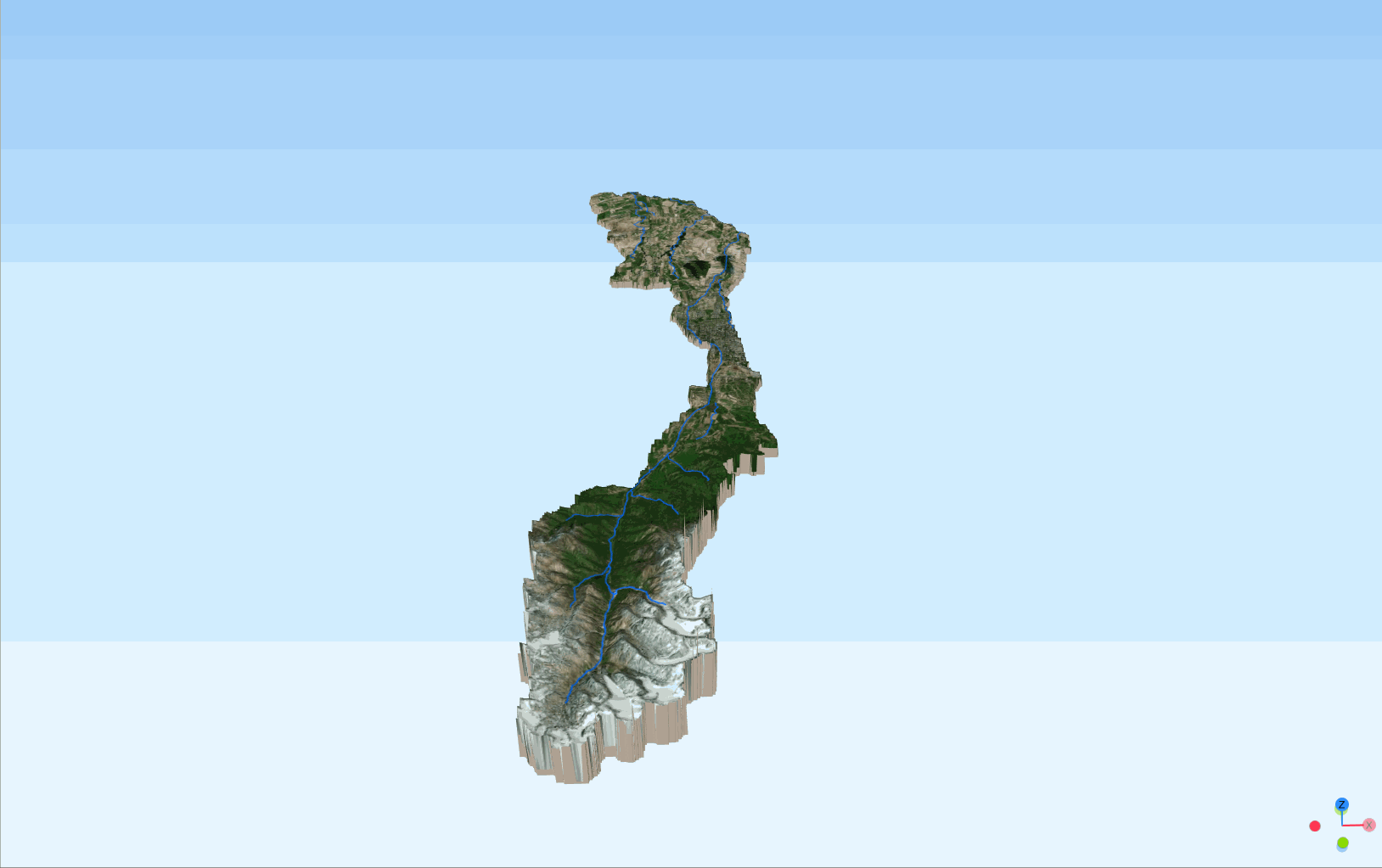
3D visualisation of Ala Archa subbassin
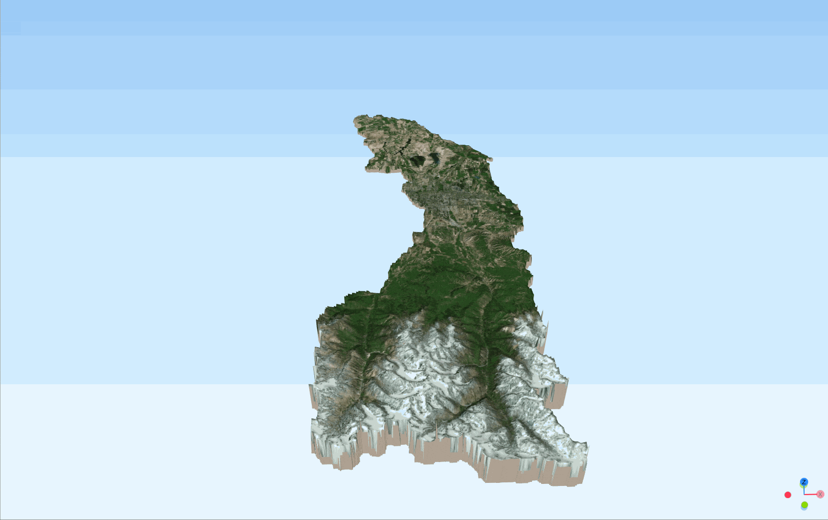
3D visualisation of Ala Archa and Alamadin subbassins
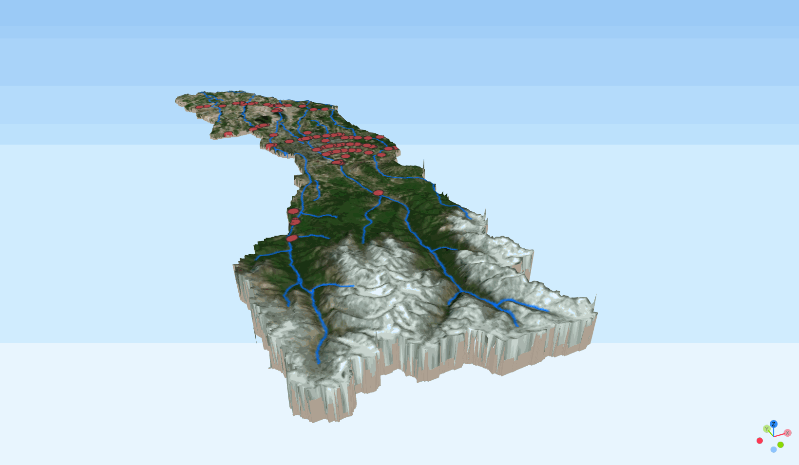
3D visualisation of Ala Archa and Alamadin subbassins with stations
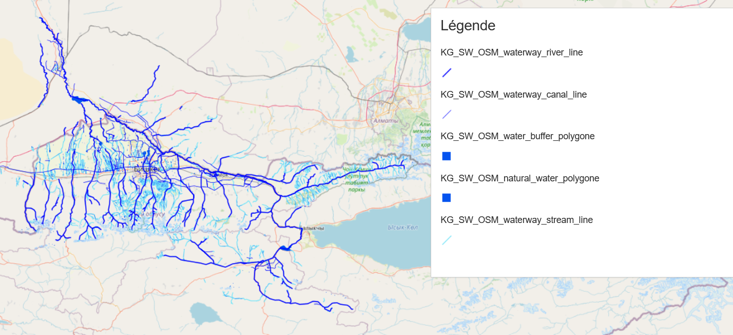
Water layer from Open Street Map for the Chu basin
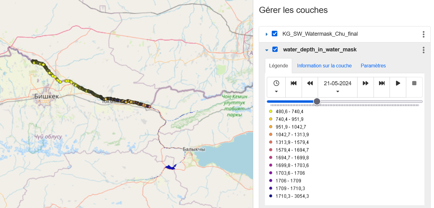
Watermask for the Chu river
Interactive map with SWOT data (PIXc and PIXc-vec)

Interactive map with SWOT data with zone (PIXc and PIXc-vec)

Dashboard SWOT PIXCVect

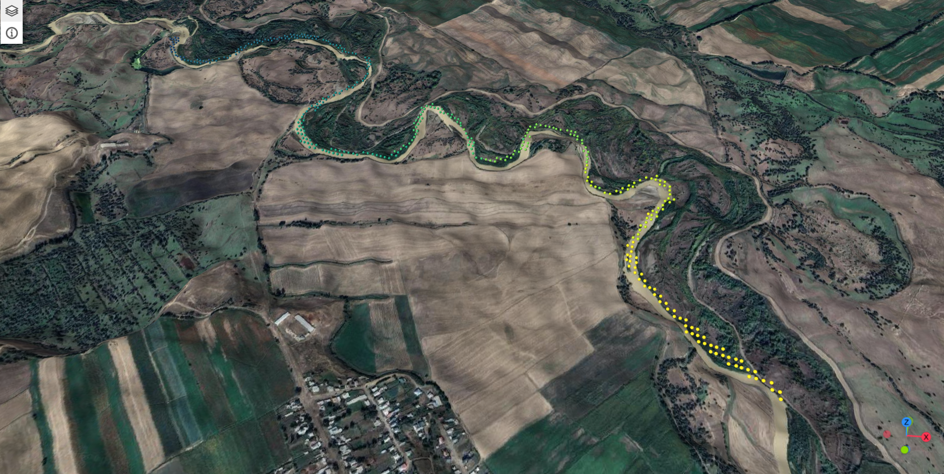
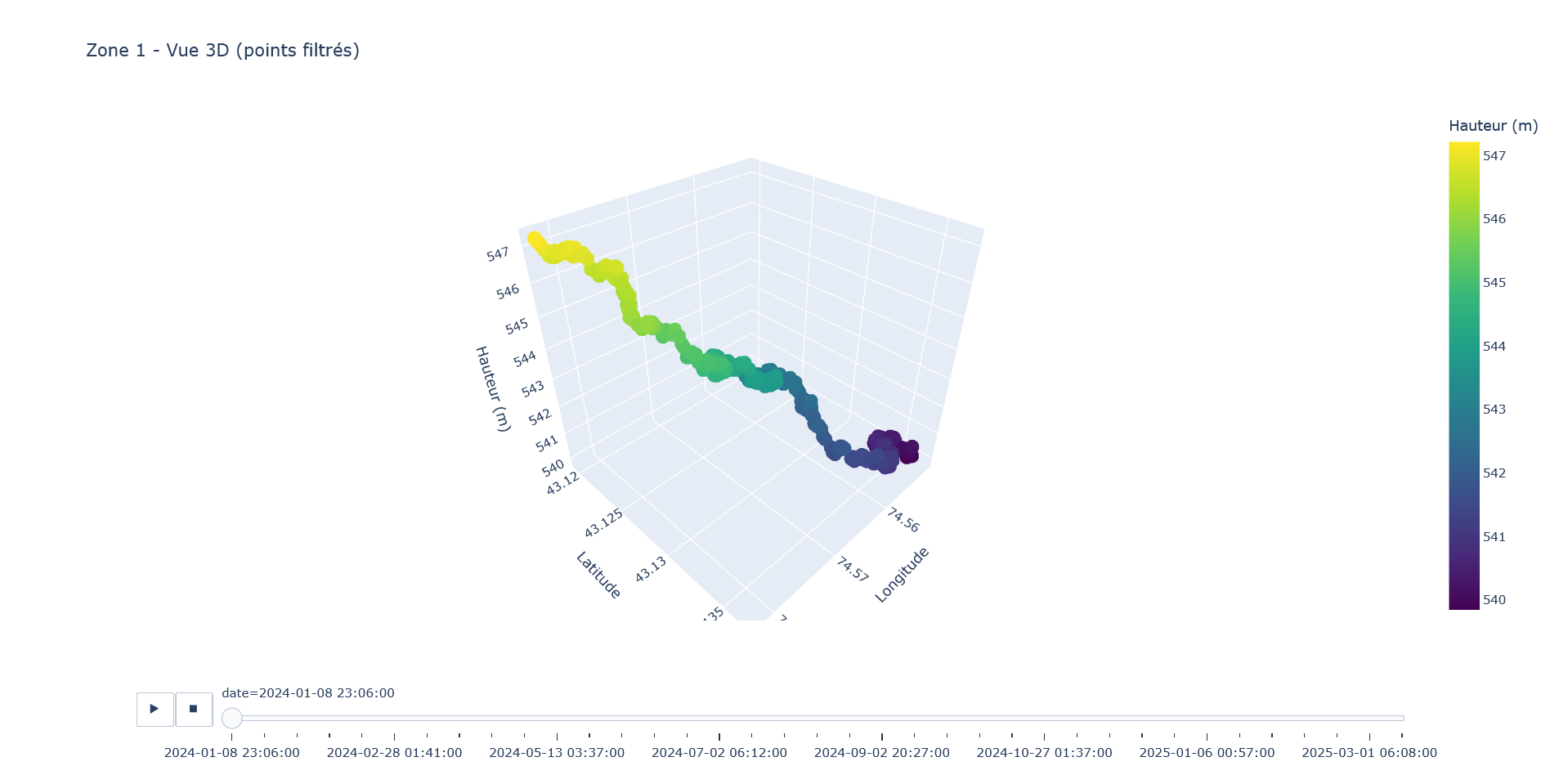
3D visualization of SWOT data
3D visualization of the SWOT data with the DEM